

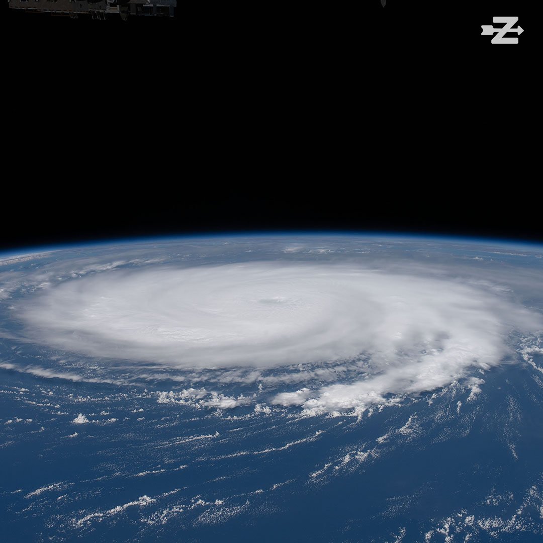
Major Hurricane Ian made landfall in Southwest Florida today as a strong Category 4 storm with wind speeds of 150MPH.
The storm slammed into Cayo Costa, Florida, at around 4 PM EST, a small barrier island among a chain of barrier islands marching along Florida’s Southwest coast, lining the Gulf of Mexico. From there, it moved onto the mainland around 4:30 PM, crawling inland at only around 8MPH.
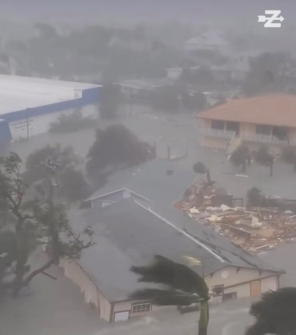
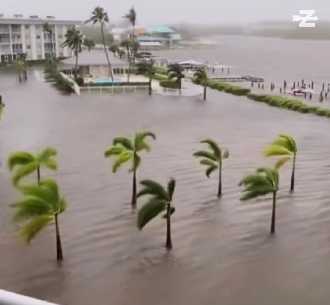
It brought catastrophic storm surges and punishing winds, sweeping onto shore in an area where there’s a lot of water intrusion from lakes, canals, and rivers – which kept the storm from weakening much in the initial hours after landfall.
The storm then continued its march to the North and East across the Florida peninsula, sweeping into inland communities with the same powerful winds and rain, knocking out power to millions of Floridians in its path and across the state as the storm’s massive feeder bands brought high winds, torrential rains and tornados to even parts of the peninsula not in its direct path.
By around 7 PM, the storm had moved inland to about 25 miles east of Punta Gorda and had weakened to a Category 3.
The storm’s crawl across the state is expected to slow even more in the next 12 hours, leaving it to slowly meander across the state and bring devastation inland to areas not used to getting direct high-category hurricane damage.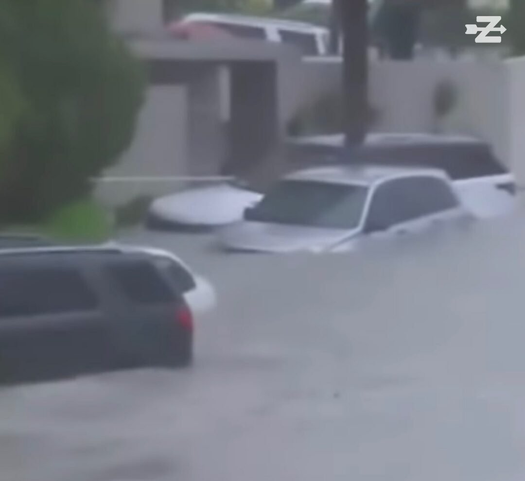
Usually, four hours after a hurricane has hit land, it’s already done most of the damage it will do, but that is not the case with Ian, and more devastation will be brought to the peninsula over the next 12 to 24 hours. Storm surge totals, which will continue to rise as the storm drags the rear bands inland, could reach up to 18 feet along Florida’s Gulf coast, and the East coast could see similar numbers in some areas.
This is a developing situation.